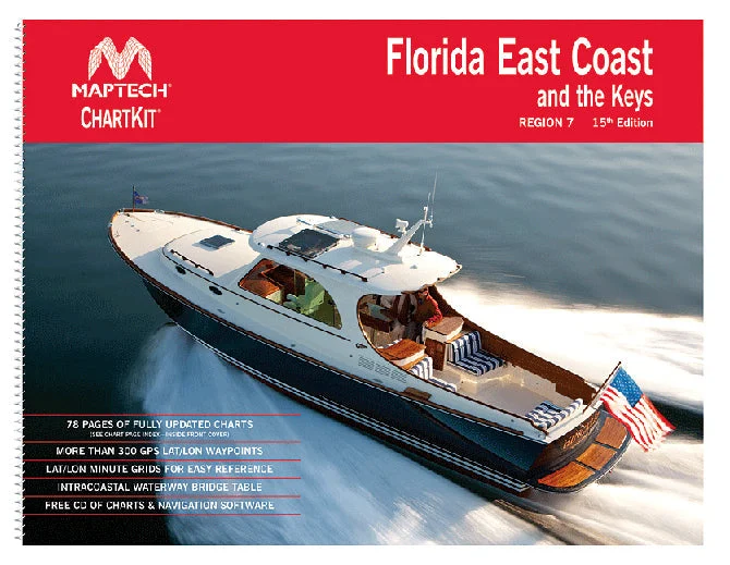
Description
Florida East Coast & The Keys
Maptech Chartkit books are full-color reproductions of NOAA charts bundled together in large cruising regions. ChartKit has been a mainstay of boating for generations — more than 1 million ChartKit books have been sold in the past 40 years!
- A Great Value
You’ll save up to 90 percent compared to the cost of purchasing individual paper charts. - The Perfect Size
Large enough to plot routes; small enough to fit on your lap. - Easy to Use
Pre-plotted waypoints and lat/lon grids for your GPS; magnetic courses for your compass. - Fully Referenced
Geographic and alphabetical indexes quickly point you to the right page. - Reliable
A great primary or secondary navigational reference. No batteries required!
Features:
- 22″ x 17″ spiral-bound charts
- GPS waypoints
- Magnetic courses
- Multiple chart scales
- “Go to” page numbers
- Aerial photos
- Companion CD: ChartKit pages for your PC


Reviews
There are no reviews yet.