Description
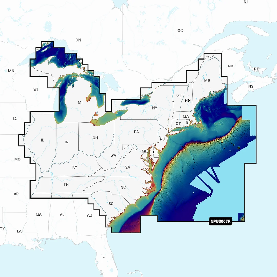
Compatible With Chart Plotters (See Compatibility Chart); Detailed Coverage Of US East – Lakes Rivers And Coastal; Region Code: NPUS007R; On SD/Micro-SD Card; One-Year Subscription; With Auto Guidance Technology High-Resolution Relief Shading High-Resolution Satellite Imagery Aerial Photography 3D View
Reviews
There are no reviews yet.